Keeping an eye on our wild rice stand
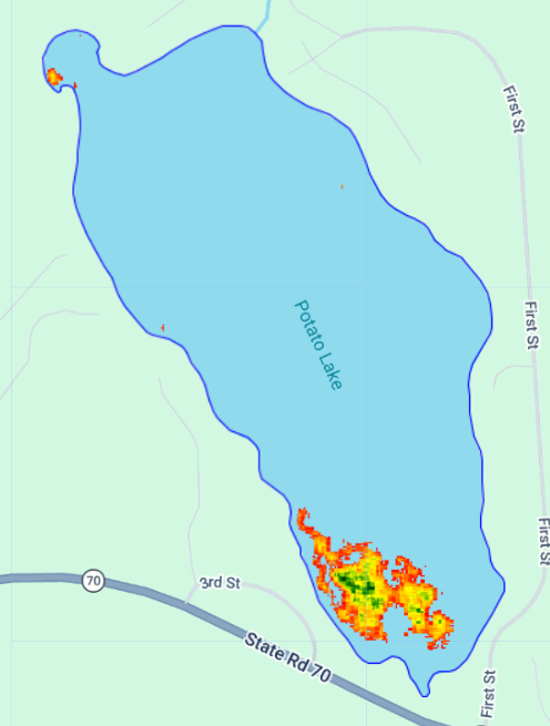
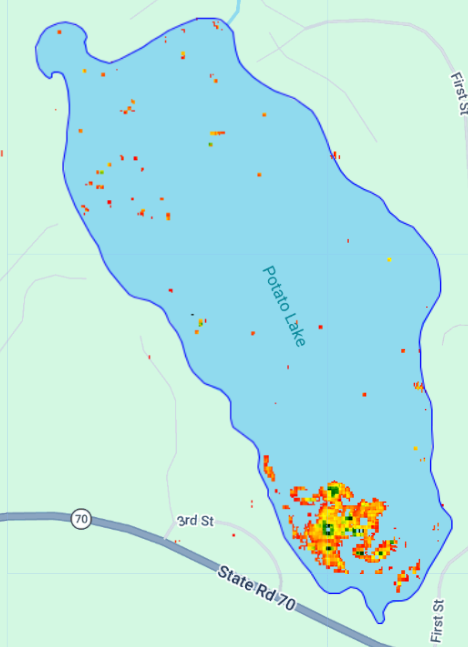
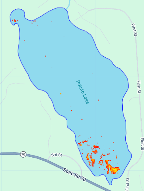
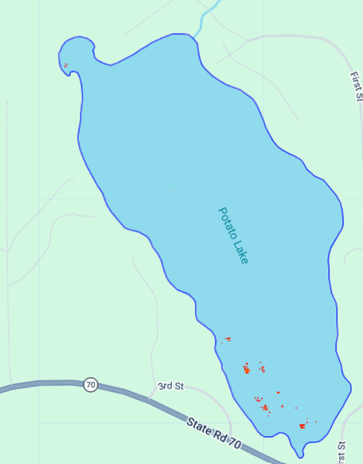
Wild Rice (Manoomin in Ojibwe) is a highly sensitive species. It was found to be the most vulnerable plant to effects from environmental changes. Wild rice abundance and distribution do vary naturally across years, so it is not uncommon to observe fluctuations in rice beds between years. However the range and abundance of our wild rice stand has been in decline the last few years. The past two years (2025-2026) were especially poor (See the Remote Sensing Satellite Images in that section below). Possible factors include multiple stressors like disturbed hydrology (by both human and/or natural sources), nutrient loads, and climate change.
The decline in abundance is evident in many great lake states. Wild rice is nearly gone in Michigan, and an estimated one-third of Manoomin stands have disappeared across Wisconsin and Minnesota.
Information from https://changinglandscapes.umn.edu/current-projects/kawe-gidaa-naanaagadawendaamin-manoomin and Aanji-bimaadiziimagak o’ow aki: Climate Change Vulnerability Assessment Version 2
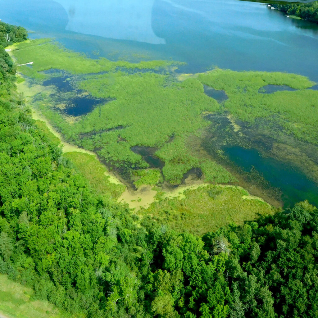
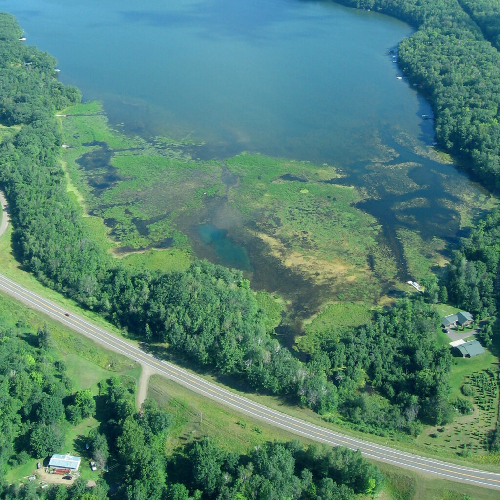
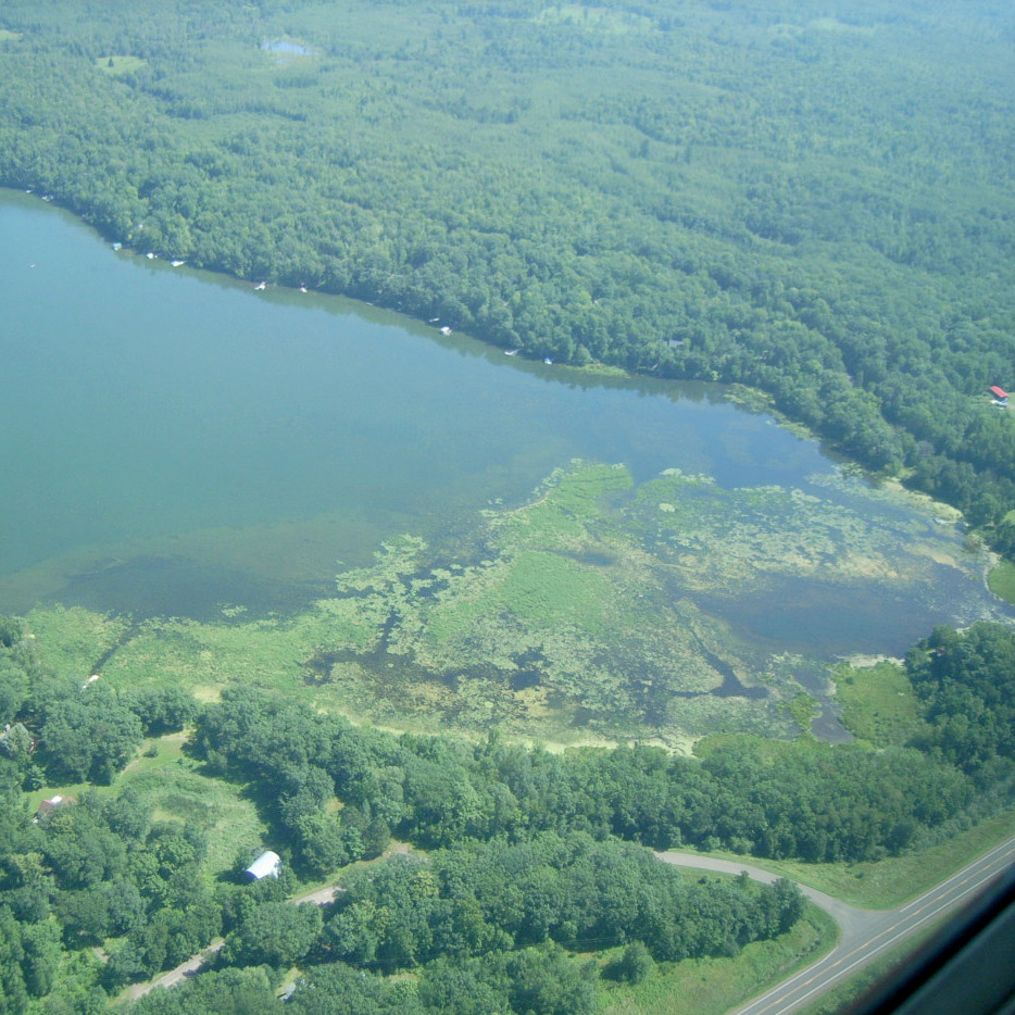
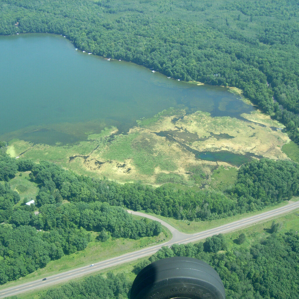
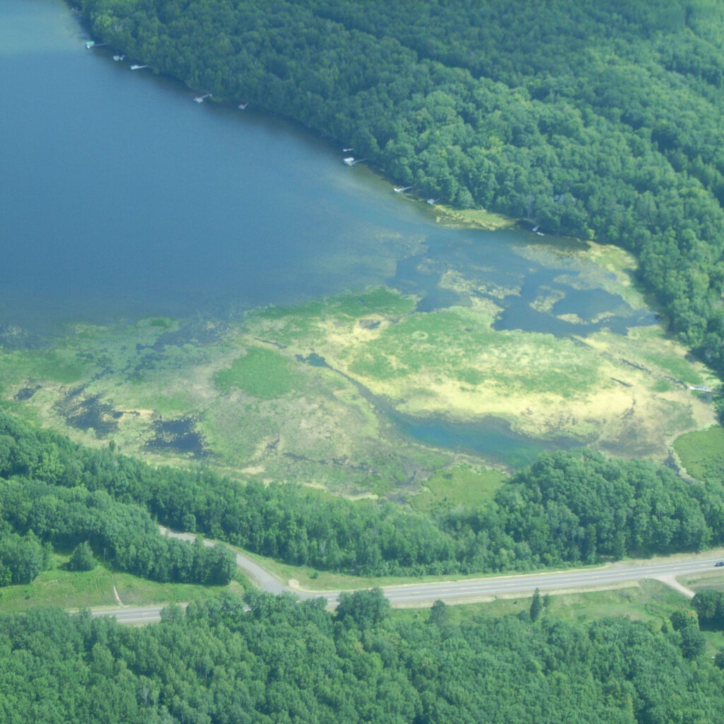
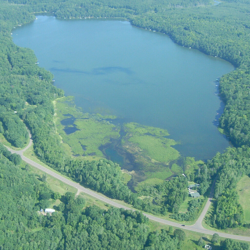
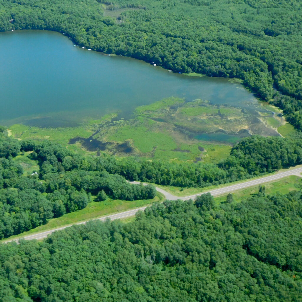
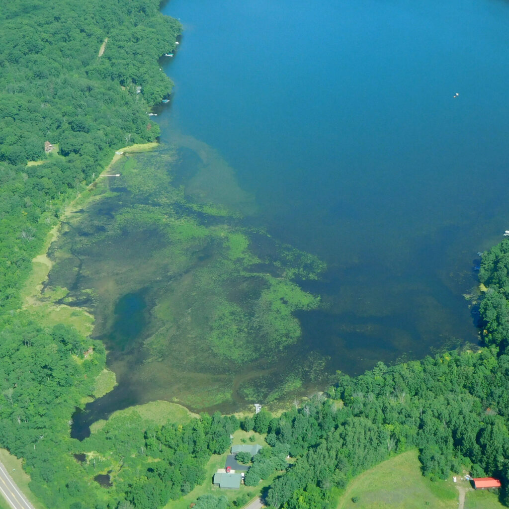
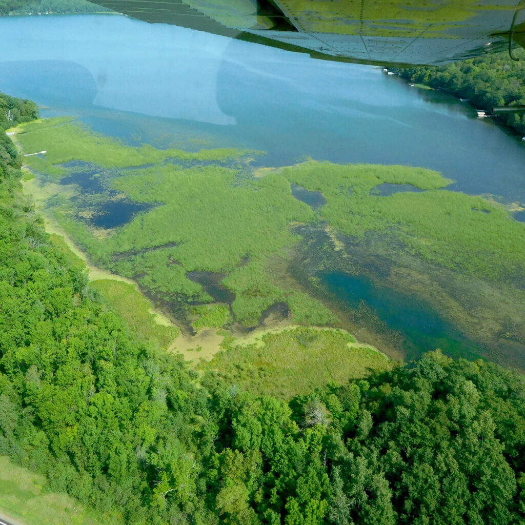
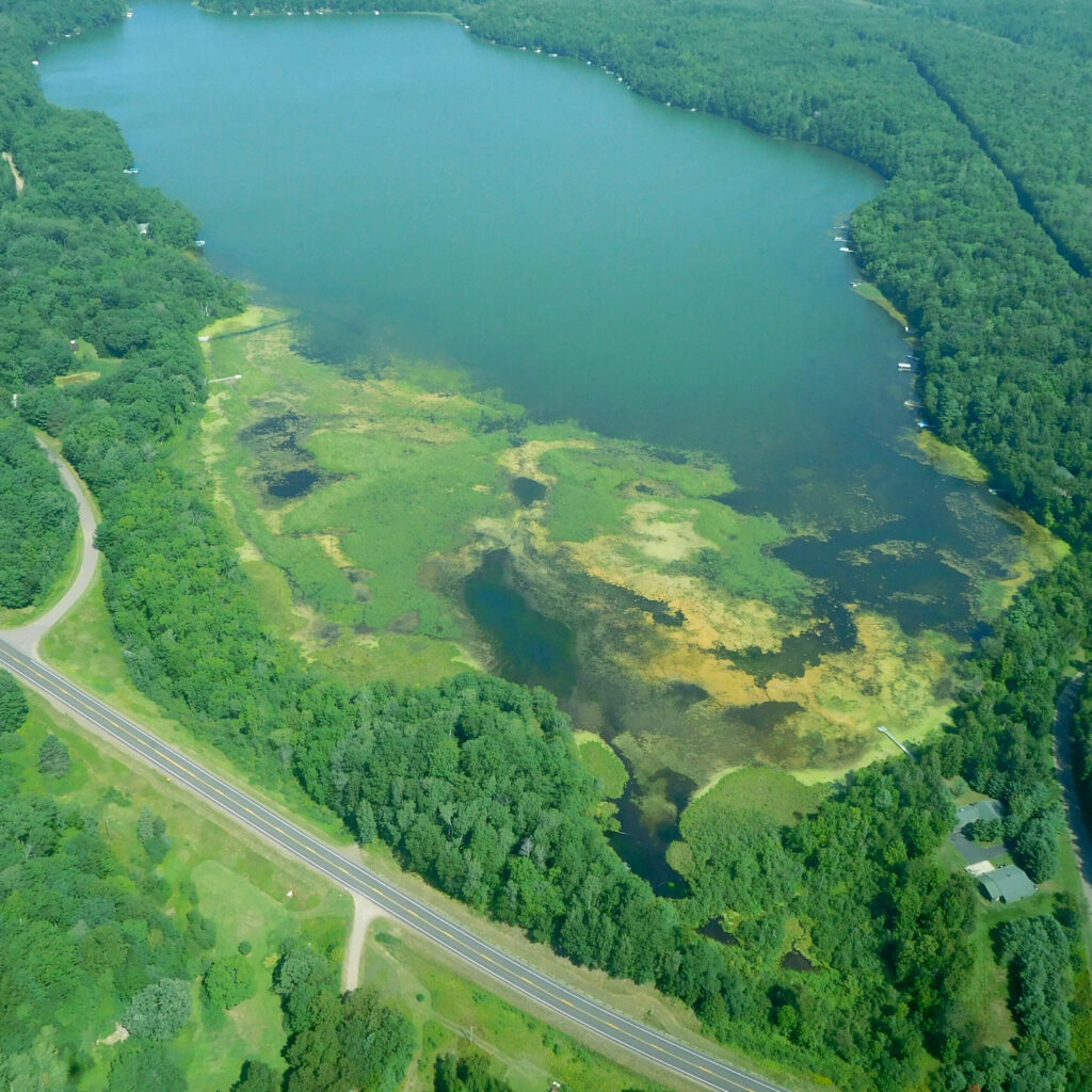
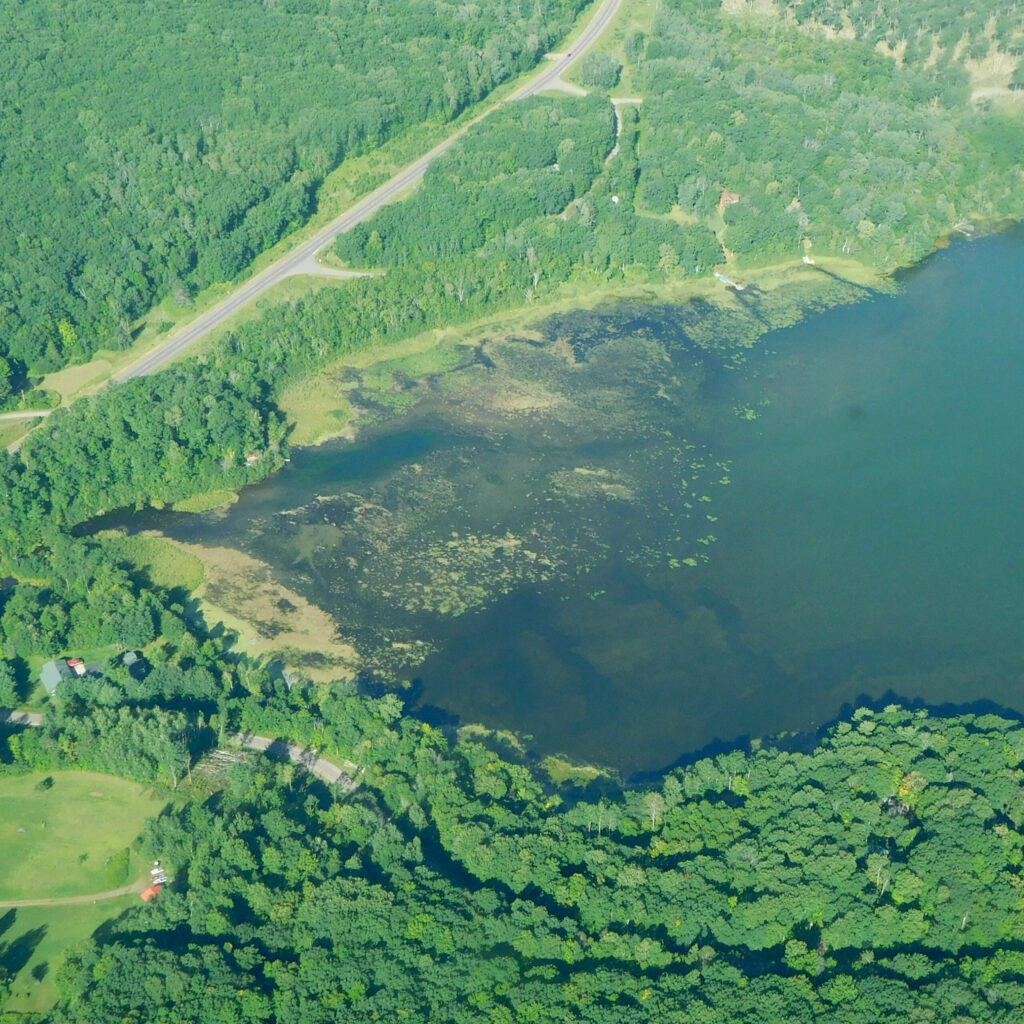
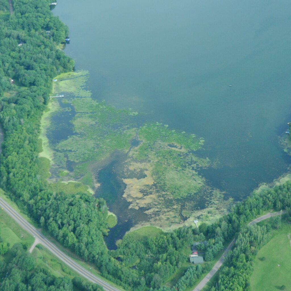
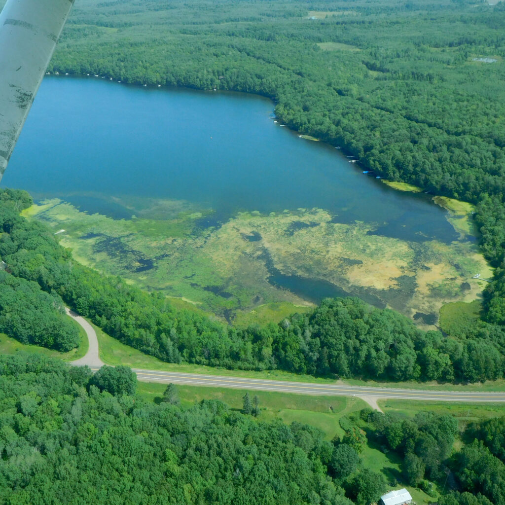
Available aerial photos of the main wild rice stand
Austen Hilding, a wetland ecologist for the Great Lakes Indian Fish and Wildlife Commission (GLIFWC), provided the images below. The GLIFWC does annual visual inventory of wild rice throughout its great lakes region. Austen said, “Wild rice is an essential treaty resource for GLIFWC member Tribes and a valuable ecological resource for wildlife. We appreciate the care and conscientiousness taken by the Potato Lake Association to ensure the health and resilience of these wild rice beds overtime. I was not able to find photos after 2021, however this was my first year doing aerial surveys, so I hope to fine-tune my flight paths and will try to include Potato Lake in the coming years.”
All images courtesy of Great Lakes Indian Fish and Wildlife Commission.
Remote Sensing Satellite Images
Austen Hilding, a wetland ecologist for the GLIFWC, wasn’t able to locate aerial photos of Potato Lake from 2022-2026. However he did provide these Remote Sensing Satellite Images for these years (except 2023). In his comments about the results shown in these maps he said, the years “2025 and 2026 appeared to be years of low productivity. There could be many ecological variables to explain that, including herbivory, drought, water levels, or wave activity. We are also aware of reports of the removal of rice plants on the south end of the lake, and complaints about this from others on the lake who value the rice.”